A Bridge That Never Got Built Quietly Reshaped How Millions of Americans Live
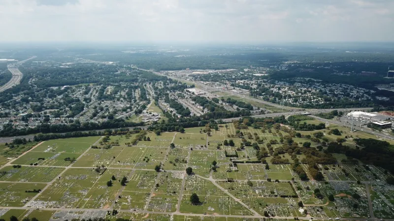
America's suburbs didn't just happen. They were built — sometimes through deliberate planning, sometimes through federal policy, and sometimes through the kind of chaotic accident that nobody intended and nobody can fully explain. The story of how one stalled infrastructure project in postwar New Jersey quietly redirected the growth of an entire metropolitan region is exactly that kind of accident: a mistake that became a map.
The Plan That Was Supposed to Connect Everything
In the years immediately following World War II, New Jersey was in the middle of a transportation identity crisis. The state sat between two of the largest cities in the country — New York and Philadelphia — and its road network was a patchwork of prewar routes that hadn't been designed for the automobile culture that was now exploding across the country. Returning veterans were buying cars. Young families were looking for space. Developers were eyeing open land. The state needed highways, and it needed them fast.
The New Jersey Turnpike, which opened in 1951, was the headline project — a bold north-south spine that finally gave the state a modern arterial road. But the Turnpike was only part of a larger vision. Planners had drawn up connector roads and extension projects intended to push access deeper into the state's interior, linking the Turnpike's exits to towns and rural areas that were still essentially isolated from the commuter economy of the New York metropolitan region.
One of those planned connectors — a highway extension designed to push west from a Turnpike interchange toward the agricultural communities of central New Jersey — ran into the kind of problems that plagued mid-century infrastructure everywhere: funding disputes, right-of-way negotiations, political disagreements between county governments, and the perpetual gap between what planners draw and what actually gets built. The extension stalled. Years passed. The connector that was supposed to open up central New Jersey to the commuter economy didn't materialize on schedule.
What Happens When the Highway Doesn't Arrive
Here's where it gets interesting. When a planned road doesn't get built, the development doesn't simply wait. It redirects.
Developers who had been eyeing land along the projected path of the stalled extension didn't pack up and leave. They looked at what was actually accessible — the existing Turnpike exits, the older Route 1 corridor, the secondary roads that connected to the rail lines — and they built there instead. The land that was supposed to become the next wave of suburban expansion, made accessible by the new highway, stayed agricultural for longer. Meanwhile, communities that already had Turnpike access became the focus of an intense burst of residential construction.
Towns like Edison, Woodbridge, and Middlesex County communities that sat near working Turnpike interchanges experienced growth in the 1950s and early 1960s that far exceeded what planners had anticipated. The infrastructure that existed pulled development toward itself with a kind of gravitational force, concentrating suburban sprawl in a tighter band along the operational highway rather than spreading it evenly across the region as the full connector system would have done.
The Commuter Map That Nobody Drew
What emerged was a commuting geography that nobody had deliberately designed. Workers who couldn't afford or didn't want to live in the older, established suburbs closer to New York found themselves moving to communities that were technically farther away but cheaper and newly built — communities that existed near Turnpike exits precisely because those exits were the only game in town while the connector roads were still being argued over in Trenton.
This created a peculiar inversion. Some of the most densely developed suburban communities in New Jersey ended up being ones that planners had originally thought of as intermediate stops on the way to somewhere else. The "somewhere else" never arrived on time, and the intermediate stops became destinations in their own right.
Rail lines reinforced the pattern. The existing commuter rail corridors — lines that had been built decades earlier to serve an earlier generation of New Jersey towns — suddenly found themselves running through the middle of brand-new suburban development. Ridership climbed. Stations that had been quiet for years became crowded. The infrastructure of an earlier era was pressed into service for a suburban expansion it hadn't been built to handle.
The Developers Who Figured It Out First
The people who understood this dynamic earliest weren't planners or politicians. They were homebuilders.
William Levitt, who had already transformed Long Island with Levittown, was watching New Jersey closely. So were dozens of smaller regional developers who understood that the gap between planned and actual infrastructure was, in practical terms, a business opportunity. Land near working highway access was worth buying now, even if it was priced for a future that hadn't arrived yet. Land along the stalled connector route was cheaper — but useless until the road showed up.
The developers who bet on existing access won. The ones who waited for the planned extension to materialize found themselves holding land that appreciated far more slowly, and in some cases watched their anticipated development corridors get bypassed entirely as the highway plans were revised, scaled back, or rerouted over the following decades.
This pattern — developers clustering around available infrastructure while planned infrastructure reshapes expectations without delivering them — played out not just in New Jersey but across dozens of American metropolitan regions in the postwar era. The gap between the highway map and the actual highway was, again and again, where the suburbs actually got built.
The Shape of a Region, Made by Accident
Today, the communities that grew up around those mid-century Turnpike exits are among the most densely populated in New Jersey — a state that is itself the most densely populated in the country. The agricultural land that was supposed to be opened up by the stalled connector roads was eventually developed, but later, differently, and at a lower density than the earlier wave of construction near the working interchanges.
The commuting patterns, the housing stock, the school districts, the strip malls, the train station parking lots — all of it reflects, in ways that are nearly impossible to trace without digging into 1950s planning documents, the consequences of a highway extension that didn't arrive when it was supposed to.
Infrastructure shapes places. But so does the absence of infrastructure, redirecting growth in ways that planners never anticipated and that residents never quite understand. The suburb you live in, or the one your parents grew up in, might owe its existence not to a road that was built — but to one that wasn't.